Who Are We?
We are your reliable partner and best provider for Geotechnology, Geoinformatics and Services
GGS – Geotechnology, Geoinformatics and Services GmbH was founded in 1988 by Dr. Gerhard Kemper. Having gathered expertise on aerial survey and photogrammetry we offer high quality products and services, but are also engaged in research and development of innovative sensors and aerial surveying systems. Delivering our long-year expertise, services and products to projects in over 30 countries, while constantly improving our portfolio we are your expert on aerial imagery and survey, photogrammetry and sensor fusion. All-in-one is our business!
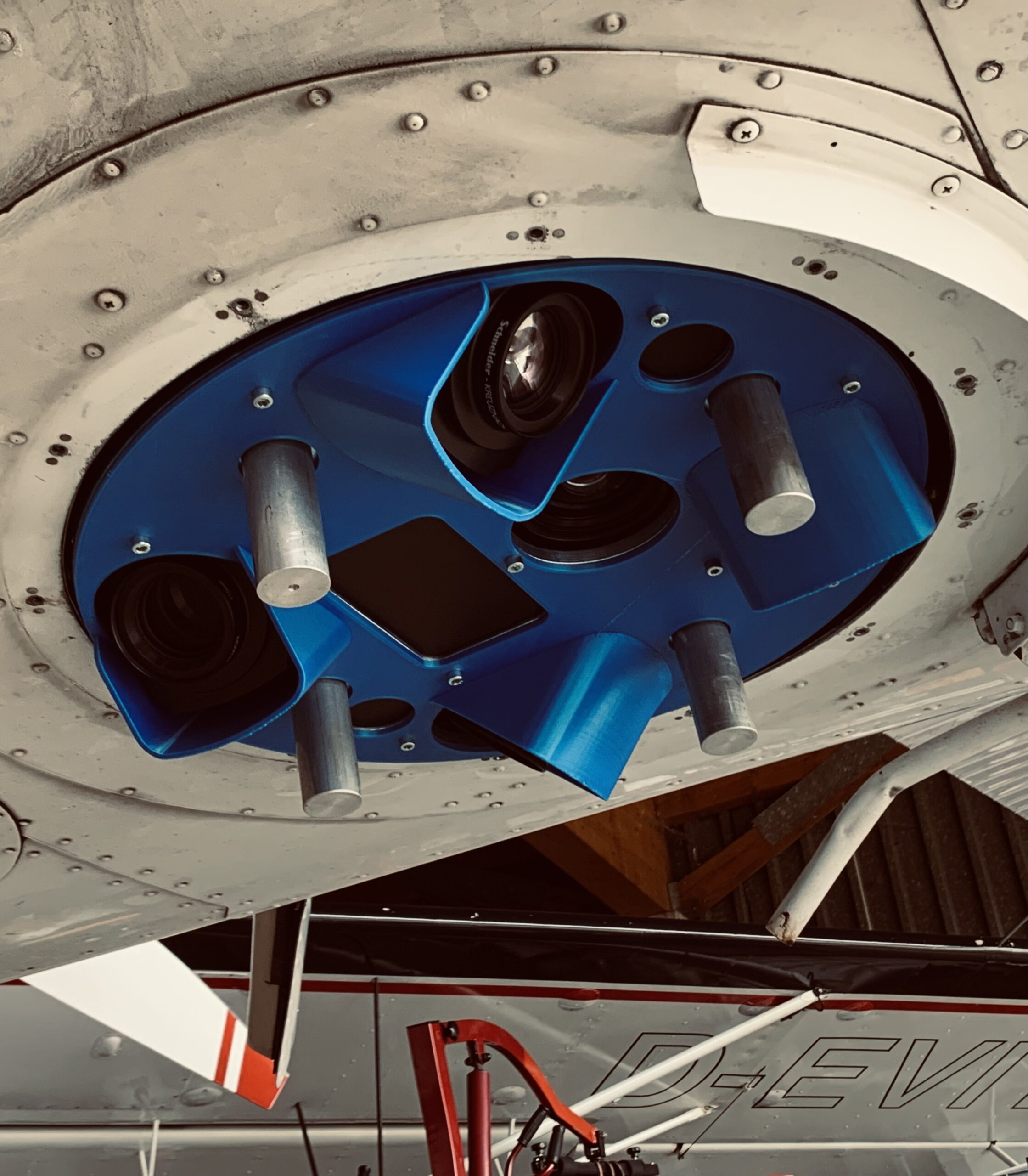
Products
Discover our large scale of cutting edge products. As a reliable integration partner, GGS uses high-resolution sensors for multi-scale applications
Solutions
Discover our range of photogrammetry solutions, from compact and efficient options to the most powerful systems available, tailored to meet all your needs.
Services
Our assistance offers the most detailed service available in the aerial survey sector, ensuring unmatched support and expertise for all your needs.
UAV/Drones
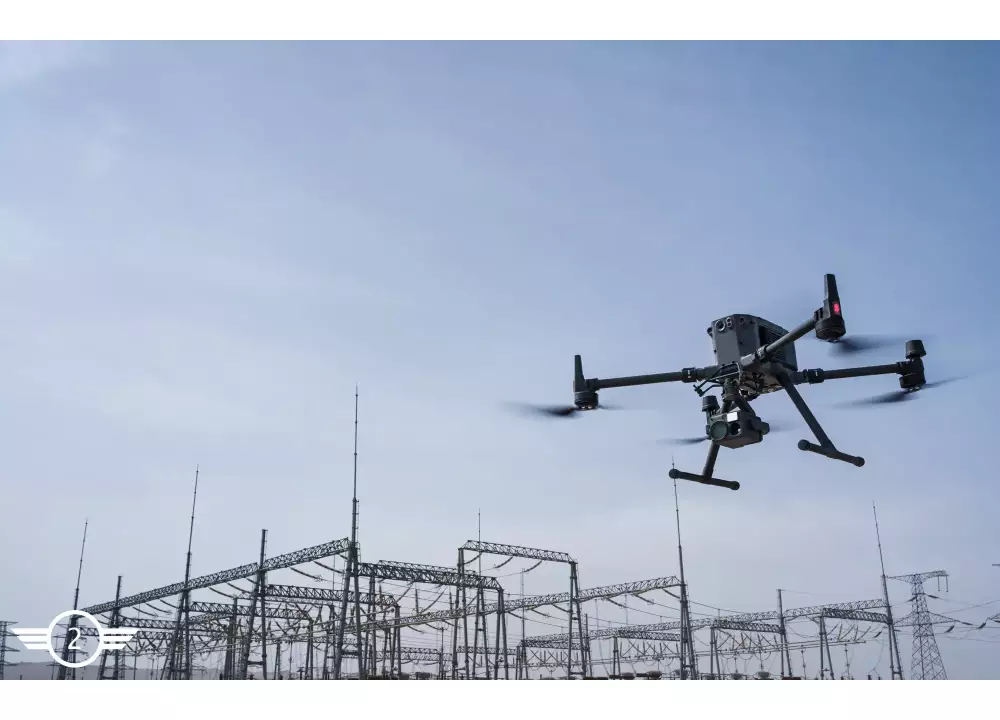
GGS offers DJI drones and integrates them expertly, while also providing a unique line of custom-designed drones tailored to meet specific applications.

Knowledge Center
Explore our database featuring case studies, scientific papers, webinars, and demo data for comprehensive insights and valuable resources.
About Us
Learn more about who we are, including our history, current achievements, and future goals. Explore our journey and vision for what’s to come!
Our expertise
Best provider for Geotechnology and Geoinformatic Systems
Our products combine many years of know-how with precise craftsmanship and compliance with existing standards. As a reliable integration partner, GGS uses high-resolution and special sensors for multiscale applications. We do business with engineering professionals, municipalities, universities, environmental authorities, cultural heritage and city planners.
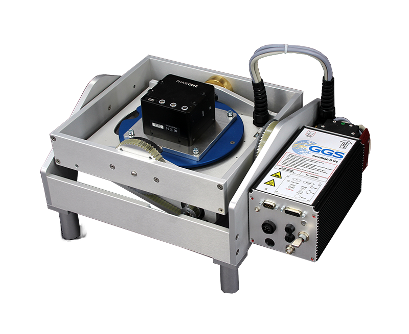
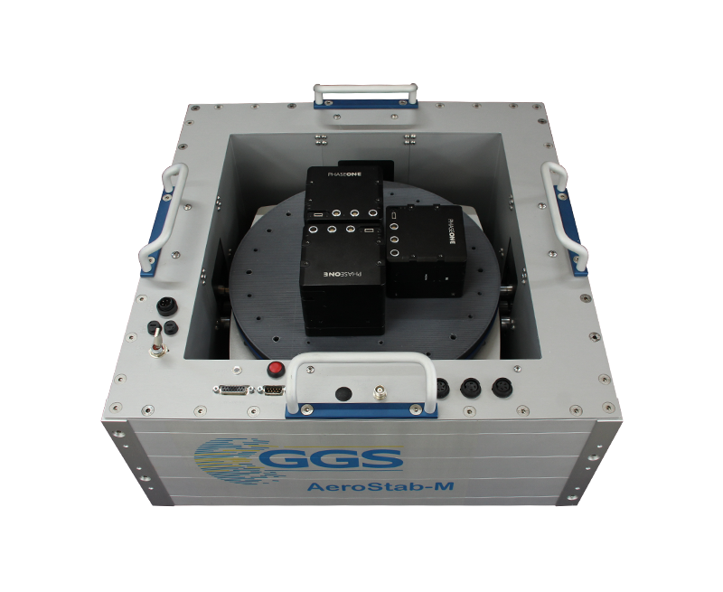
Services
Excellence in customized solutions
Our assistance offer is the widest and most detailed Service you can get in the Aerial survey sector.
We do support your projects from the beginning to the end whether you need consulting, planning or Hardware products. We integrate the most performing and adapted sensors but we also produce the right solution that fits your application. When it comes to processing softwares and training, GGS provides it as well. Thus we are the right partner for customized turnkey solutions.
We produce your systems on demand, integrate them, calibrate them and give you support once your projects are running.

Our partners
Professional partners we work with
We do business with engineering professionals, municipalities, universities, environmental authorities, cultural heritage and city planners.








How we may support you?
Contact us via phone or mail.
Experienced partner understand what you really need!
