Solutions
Oblique Imaging Systems
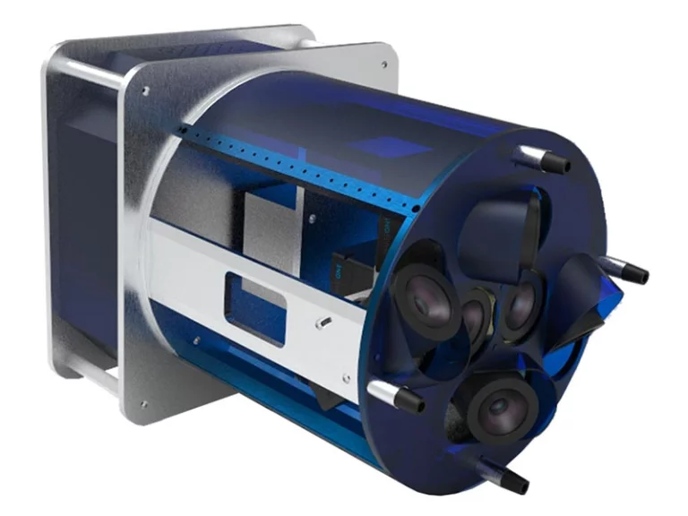
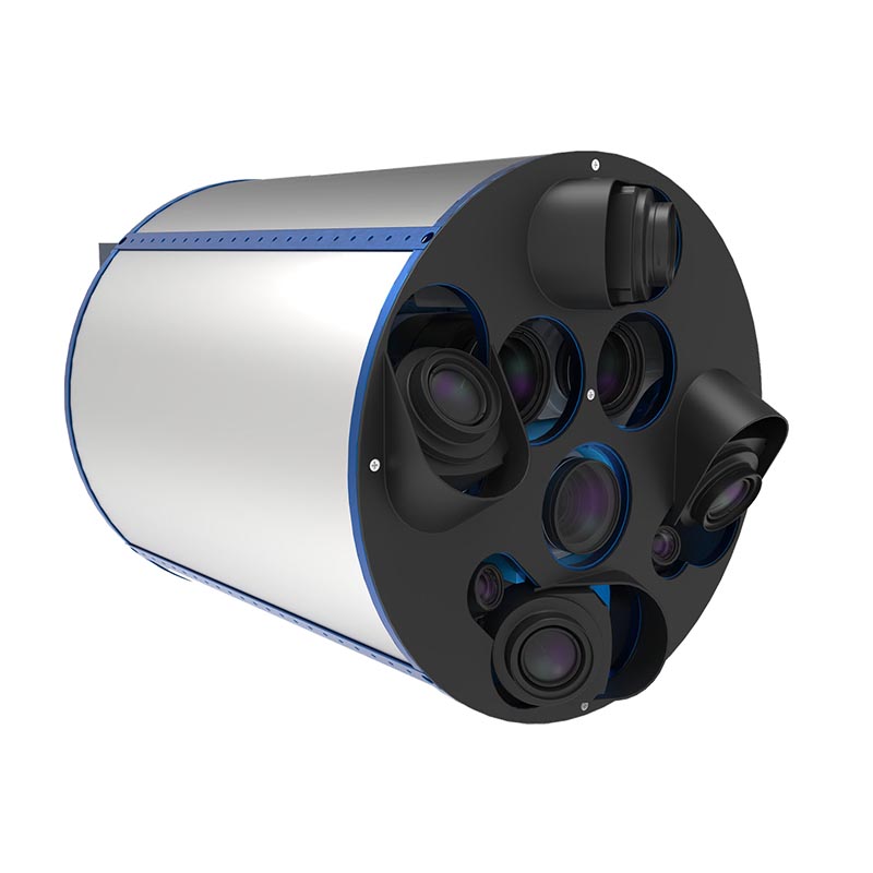
Oblique mapping is a way to combine several sensors in one solution, most of the time RGB cameras. The purpose is to capture data of cities or other types of landscapes that enable to build precise 3D models from it. The classical setup is made of 5 cameras. One Nadir camera and 4 cameras installed in oblique angles, in a way to capture the third dimensions of the landscape.
Through the years, these systems became one of our expertise. Now we offer a large range of Oblique Imaging Systems, from an entrance high accuracy model up to the most elaborated and efficient system that carries up to 9 different sensors.

OIS-S
OIS-M
OIS-L
OIS.L 4B
OIS.XL
OIS-XL++
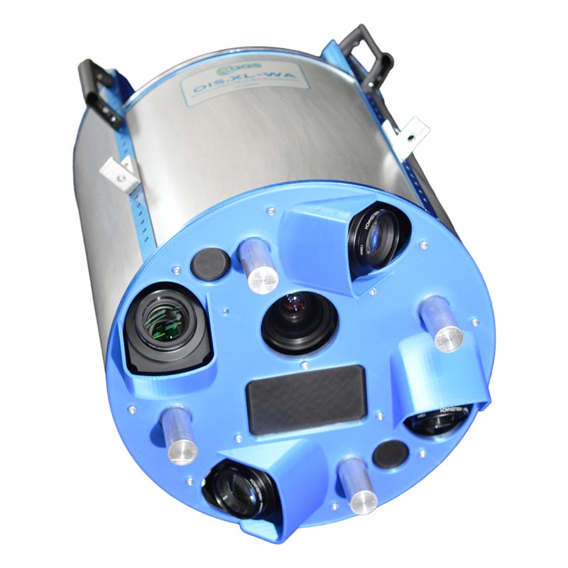
OIS. XL.WA
Let’s have a look at our other products
Our products combine many years of know-how with precise crafts – manship and compliance with existing standards.
Aircraft Stabilizers
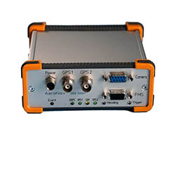
GNSS-INS Devices
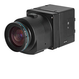
Aerial Cameras

Software
Knowledge Center
You want to look deeper into details? Looking for applications with our technology? In our virtual library you find scientific papers, case-studies, webinars, brochures to download and many more.
Case Studies
Download Documents
Demo Data
Scientific Papers
How we may support you?
Contact us via phone or mail.
Experienced partner understand what you really need!