Flight Management Systems
AerotopoL
The only operational GIS-based Mission Planning and Flight Management System
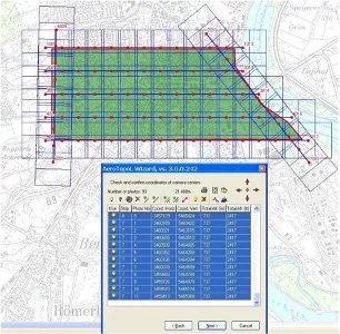
AeroTopoL is the only operational GIS-based Mission Planning and Flight Management System on the market. Beside full GIS functionality, it uses a Wizard to guide user-friendly through the different planning and navigation features.
AeroTopoL enables many import and export formats for raster and vector data, as well as many coordinate systems. Data from different geodetic datum can be re-projected on the fly.
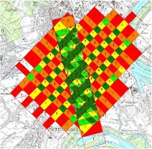
AeroTopoL supports any frame based analogue or digital camera and calculates also the expected accuracy of the project. With AeroTopoL-DTM the terrain is taken into account in computing adjusted footprints. Analysis of overlaps during planning help to select the best places for GCPs. Different editing-tools help to optimize the mission.
For navigation virtual avionic instruments give the pilot precise guidance and the operator information of the captures and the camera and stabilizer status. The virtual instruments can be adjusted according sensitivity, outlook and zoom functions.
In real-time AeroTopoL computes the image coverage using terrain-height, flight-altitude, camera-parameters and rotation angles. Analysis of the overlaps provides feedback about the required coverage.
AeroTopoL delivers a detailed log of the completed mission as well as the files needed for photogrammetric processing. AeroTopoL supports full heading compensation using AeroStab stabilizer.
Let’s have a look at our other products
Our products combine many years of know-how with precise crafts – manship and compliance with existing standards.
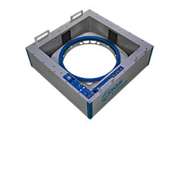
Aircraft Stabilizers
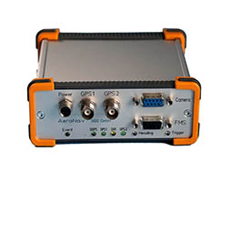
GNSS-INS Devices
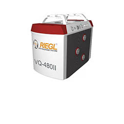
LIDAR Scanning

Software
How we may support you?
Contact us via phone or mail.
Experienced partner understand what you really need!
