Solutions
SAM – System of Aerial Mapping
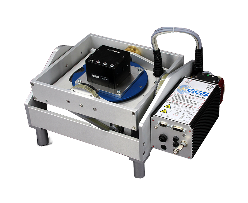
SAM makes use of different PhaseOne cameras between 100 and 280 MP and combines them to a turnkey solution with GNSS-INS, Stabilizer, mission planning and flight management. The different sensors enable a good priced entrance level as well as high end productive combinations. The use of
photogrammetric mapping as an all in one solution for a limited budget without any compromises in
quality and performance. The combination with an NIR sensitive camera widens the field of use
especially for environmental monitoring.


Check our products
Check our products
Knowledge Center
You want to look deeper into details? Looking for applications with our technology? In our virtual library you find scientific papers, case-studies, webinars, brochures to download and many more.
Case Studies
Download Documents
Demo Data
Scientific Papers
How we may support you?
Contact us via phone or mail.
Experienced partner understand what you really need!
